Attribution: my.ohio.voyager.net
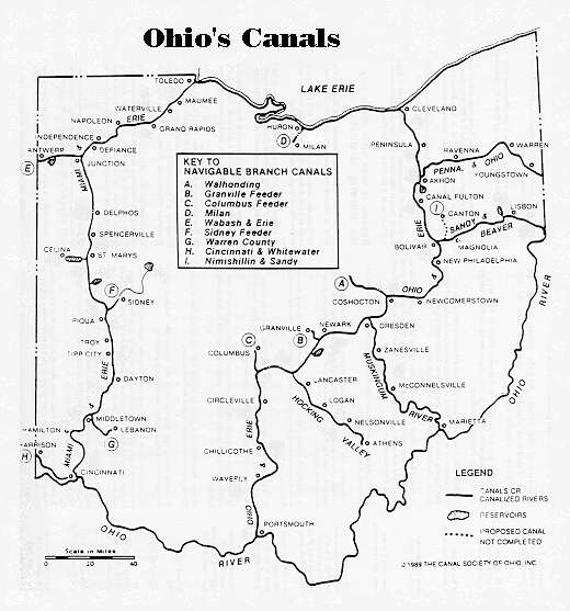
It’s early on Monday morning and I find myself back in Ohio on the annual pilgrimage to visit family and friends in the state that is round on the ends and hi in the middle…In looking for an interesting visual to go along with this entry, I found an old canal map. That prompted a thought about the shift we’re seeing in population and economics in the state. These canals used to be the primary means to move bulk materials around the eastern portion of the US in the time before railroads.
As traditional industry dies around Ohio (steel, automaking, and associated trades and suppliers) it seems the state might be in for another tectonic shift, like the one moving from canals to railroads. It’s striking to see how quickly dispersion is happening in the state with a move of population from the urban areas to vast sprawls of suburbia – in turn retiring vast swaths of productive farm land for soul-less cookie cutter residences.
In the place of our visit, Greene County, what used to be a primarily gently rolling hills with soy beans, corn, pigs, and cows, has turned into a franchise ghetto where the shelf life for any particular enterprise seems to average 2 years or so. Already large hunks of retail space are sitting vacant while ever more retail spaces seem to be built and eradicating the open space. If the population was growing and there was a need for all this new building and infrastructure, that would be one thing. But Ohio isn’t growing.
The Pretenders were prescient in their song “Back to Ohio” where their pretty countryside had been paved down the middle by a government that had no pride.


Greene and neighboring Butler and Warren Counties ARE growing. But really, did you even get out of your car? The notion that Greene Co. is now some kind of endless suburban strip mall would only occur to someone that never left their vehicle, and never drove anywhere but Fairfield Road, John Glenn Hwy., and Dayton-Yellow Springs Road. Even then you’d have to keep your eyes closed 80% of the time not to see beans and livestock.
But if you must have more, I could make a “green” concession in my proposal for dealing with the soon-to-be-defunct Antioch College. Rather than slaughtering the faculty, administration and student body, razing the campus to the ground and salting the underlying earth, I’d be willing to consider conserving the salt and conveying the real estate to a corporate hog farm.
Yellow Springs would smell better as a result.
Paul, I can only assume you have an axe to grind given your response. Rather than take a position other than what I wrote (I stand by that) I’ll leave judgment of your rude statements to other readers. Your comment was only published based on free speech grounds.
And, I’ll just mention that I didn’t say a thing about Warren County, “green” anything, or Yellow Springs.
Update: This is not the right Paul, I retract my comments directed at Paul M. Dubuc below…
From Paul’s website, his comment rules: “Quote from your “about” page…
“All I ask is that there be no personal attacks, gratuitous foul language, or solicitation. Be intense if you want, but be civil. Thanks.”
Mike,
I am emphatically not the Paul Dubuc who made the above comment. I am not the only Paul Dubuc on the internet or the only one who posts comments on blogs and newsgroups. Whenever I do post a comment on a blog, I leave a link to my website as well as my name. I have never seen your blog before. I’m sorry that someone with the same name as me would leave such a rude comment on your blog.